Susan Hockaday
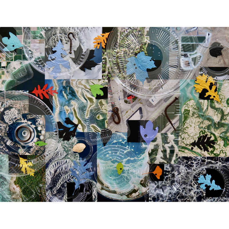
Mother Earth, 2023
Epson Premium Luster Print
28" x 38"
This image presents diverse satellite pictures of earth, with scattered painted leaves, and a layer of plastic containers overall. A few iron tools are included here and there, plus one crab shell.
I have always been fascinated by maps and aerial views of the earth. Some years ago I had the opportunity to fly over this region in a small plane and photograph everything below. It was intoxicating; the images became living maps that tell the stories of our history on this planet. Since then I have collected quantities of MAXAR satellite pictures, which I use in my photographs about climate change. The layer of plastic indicates what we have done to 'Mother Earth' over time.
- Susan Hockaday


